Controlled airspace and LAANC: how to get authorization to fly your drone
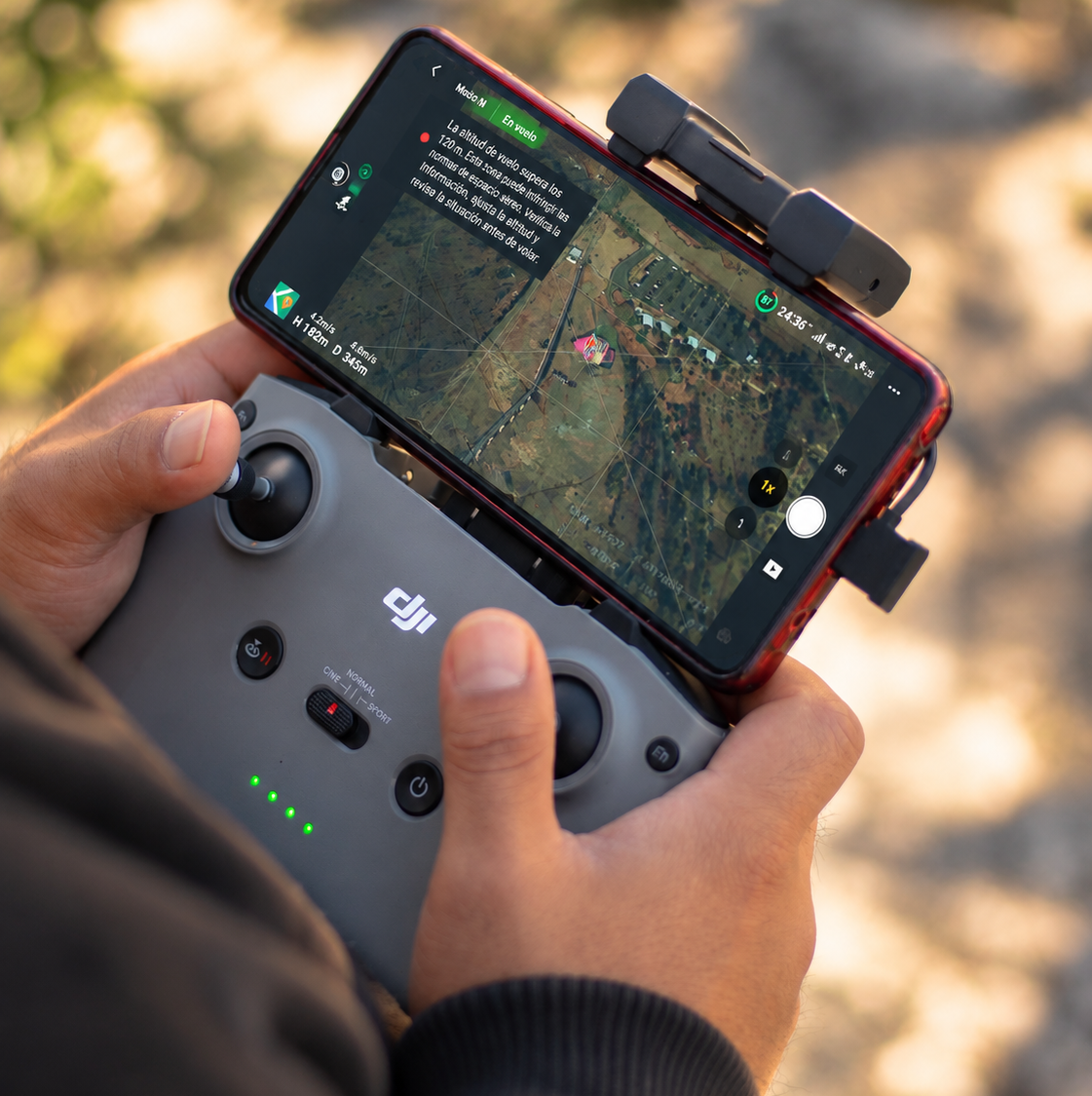
One of the first questions I ask before taking on any flight has nothing to do with the camera or the drone: what airspace will I be in? Near many airports you can’t just take off, even with a Part 107 certificate and a drone in perfect condition. You need prior authorization, and the fastest way to get it is LAANC.
In this article I explain what controlled airspace is, when you need authorization, and how LAANC works in practice.
Controlled and uncontrolled airspace
In the United States, airspace is divided into classes. For a drone pilot flying under Part 107, the key difference is this:
- Class G (uncontrolled). This is where most commercial drone flights happen. You don’t need air traffic control authorization, but every other rule still applies: 400 feet above ground level maximum, visual line of sight, no flying over people unless you meet the requirements, and so on.
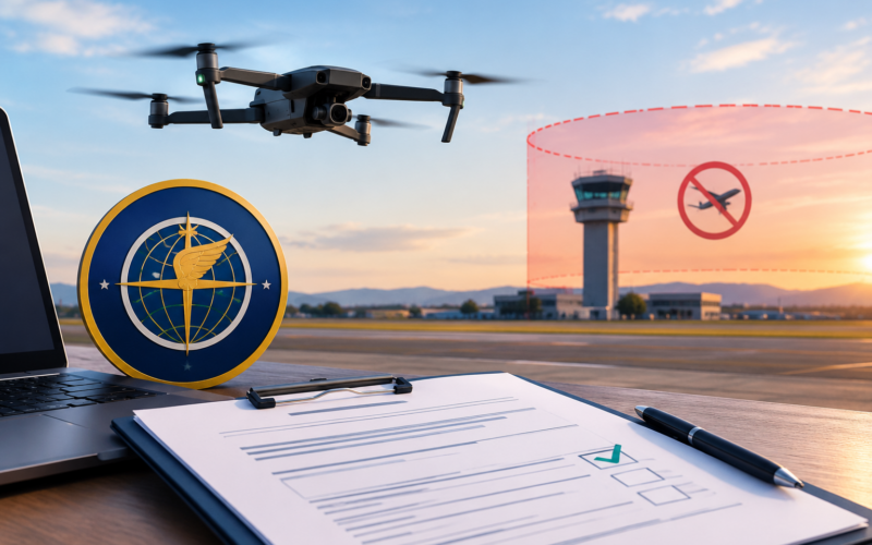
- Classes B, C and D, and an airport’s Class E surface area (controlled). These are the areas around towered or busy airports. Under section 107.41, flying here requires prior authorization from the FAA.
The boundaries of each class are shown on sectional aeronautical charts, but day to day the most practical option is an app that displays them on a map.
What LAANC is
LAANC (Low Altitude Authorization and Notification Capability) is an FAA system that lets you request authorization to fly at low altitude in controlled airspace in near real time. You don’t request it from the FAA directly, but through apps from FAA-approved companies called UAS Service Suppliers. The official list of suppliers is published on faa.gov.
LAANC is built on UAS Facility Maps: grids around each participating airport. Each cell shows the maximum altitude that can be approved automatically, for example 0, 100, 200 or 400 feet. The closer you are to the runway, the lower that altitude usually is.
How I request an authorization, step by step
- I draw the flight area in the app, as tight as possible to what I actually need.
- I check the maximum altitude the grid allows in that area and plan the flight below it.
- I enter the date, time and duration of the flight, plus my Part 107 pilot details.
- I submit the request. If I ask for an altitude at or below the grid, the answer usually comes back in seconds.
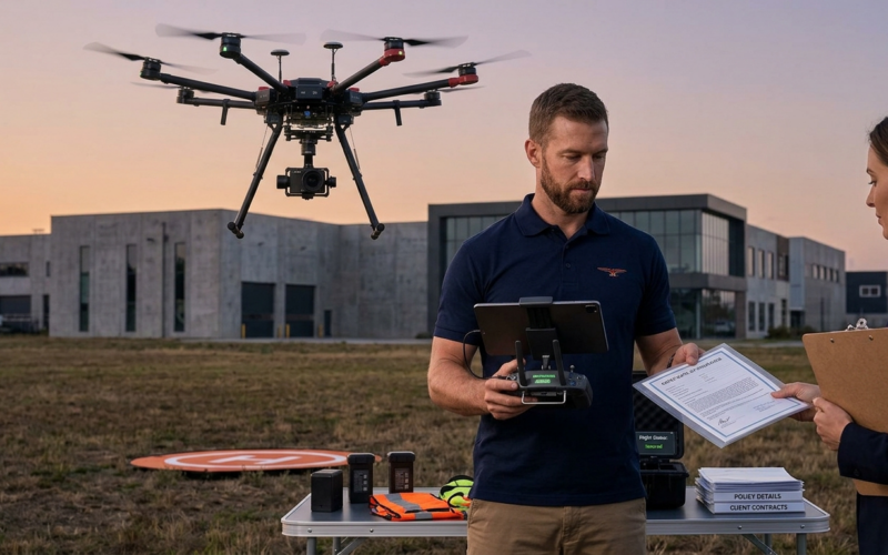
- I save the authorization and keep it with me during the flight, along with its conditions: the exact area, altitude and time window.
If I need to fly higher than the grid allows, LAANC offers further coordination. In that case a person reviews the request and it has to be submitted days in advance, so it’s worth planning for from the start.
When LAANC isn’t available
Not every airport participates in LAANC, and not every operation fits it. For those cases you can request authorization through FAADroneZone, the FAA’s web platform. It works, but it’s much slower: review can take weeks, so on a project with a fixed date you need to apply well ahead of time.
What LAANC doesn’t cover
A LAANC authorization doesn’t mean everything is settled. There are things I still check separately:
- Temporary flight restrictions (TFRs). Sporting events, VIP visits or emergencies can close the airspace even if LAANC shows the area as available. I check them on the day of the flight.
- The rest of Part 107. The authorization only covers airspace. The rules on people, line of sight, weather and night flight still apply.
- Permission for the site. The FAA regulates the air, not the ground. Taking off from a property requires the owner’s permission, and some cities and parks have their own rules on takeoff and landing.
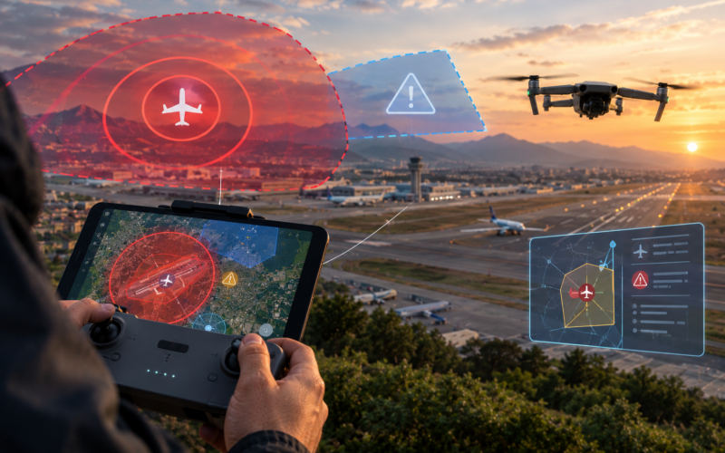
- Warnings in the drone app. DJI apps may show warning zones, but they don’t replace FAA authorization, and FAA authorization doesn’t replace them.
In short
Before every flight I check which class of airspace I’ll be in. If it’s controlled, I request authorization through LAANC, fly within the authorized altitude and time window, and check temporary restrictions and site permissions separately. It takes a few minutes and avoids fines and, above all, risks to manned aviation.
Regulations change over time. Before you fly, always check the FAA’s official information at faa.gov.
Comments